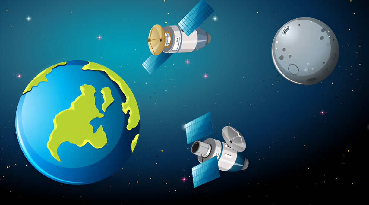
How Satellite Data is Used to Detect Deforestation
Forests are the lifeline of the Earth. The presence of forests also determines climate, harboring biodiversity and communities. However, the rate of deforestation has been remarkable, as 10 million hectares are lost per year. Luckily, satellite technology was proving to be a change-maker as far as tracking of these crucial ecosystems was concerned. Experts can […]